Home
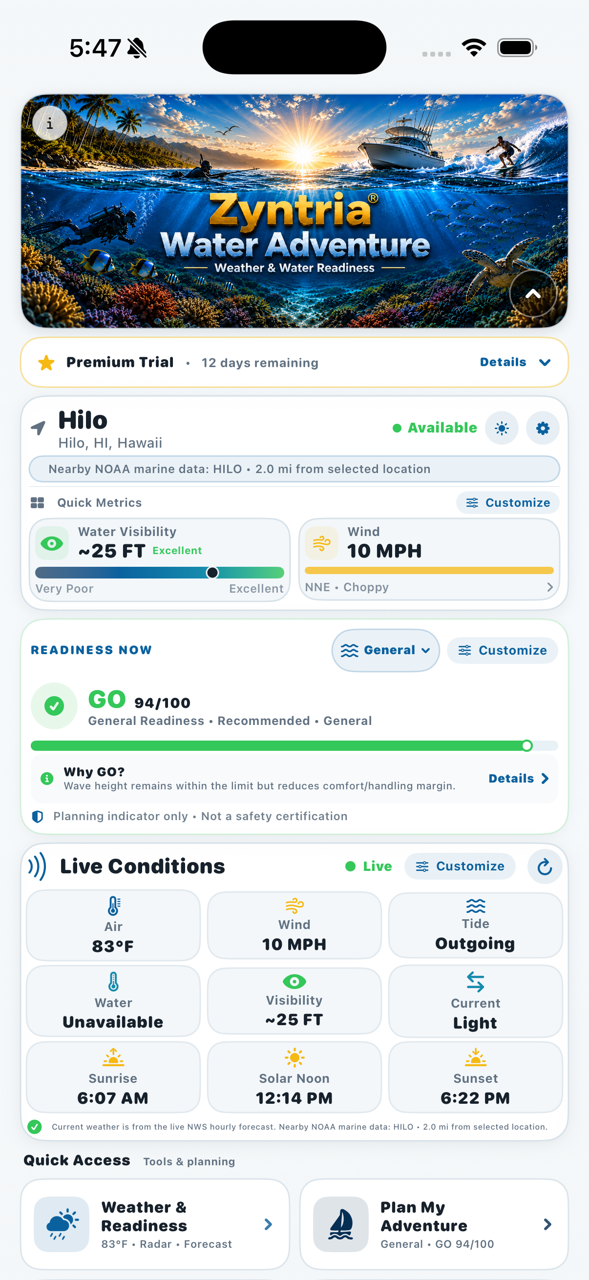
Conditions at a Glance
See the current weather and water picture, activity readiness, and the information that matters most before you go.
 Zyntria® Water Adventure • Available Now
Zyntria® Water Adventure turns weather and water intelligence into a clearer decision: Is this a good time to go—and if not, when will it be?
Get activity-specific readiness, Best Window planning, detailed weather and water conditions, marine maps and routes, alerts, position sharing, Night Sky insights, and practical safety tools in one iPhone app.
Built from real on-the-water experience by a U.S. Navy veteran and longtime boater, diver, spearfisher, and surfer.
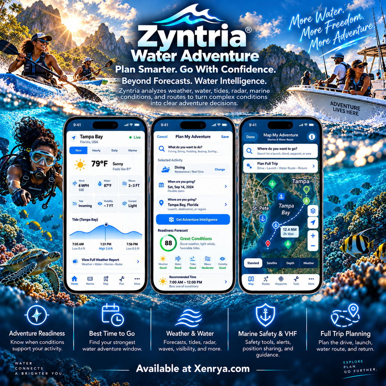
See how Zyntria brings weather, water and marine intelligence, activity readiness, future planning, radar, mapping, alerts, Adventure Log, and safety tools together in one decision-focused water experience.
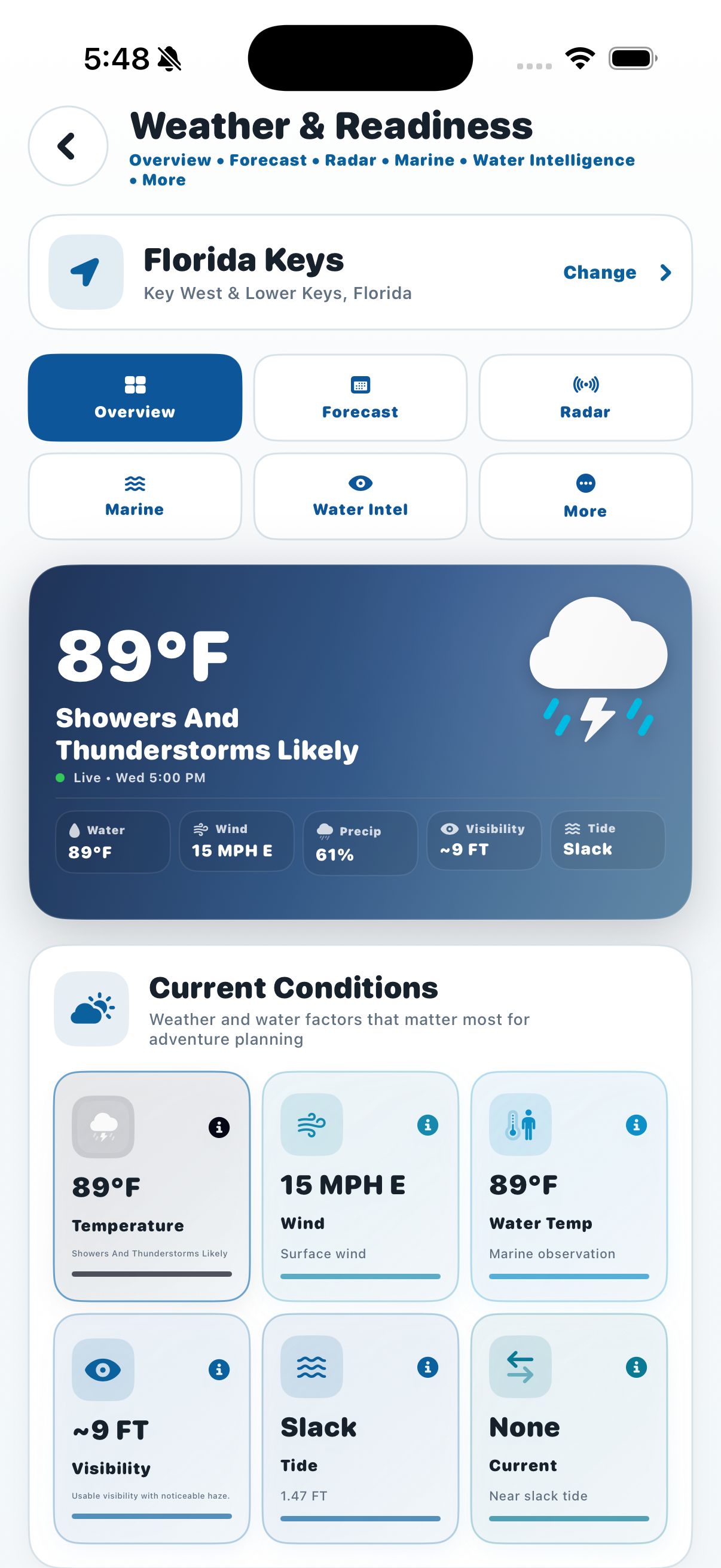
See the current weather and water picture, activity readiness, and the information that matters most before you go.
Turn changing conditions into an activity-specific GO / CAUTION / NO-GO decision with clear supporting context.
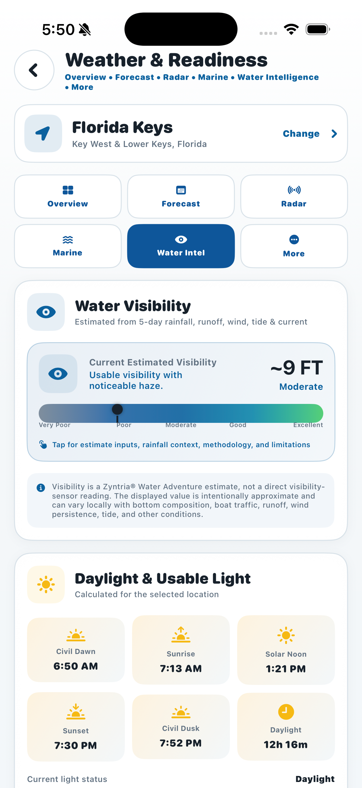
Bring water visibility, temperature, currents, waves, surf, rainfall, and other supported water conditions into the decision.
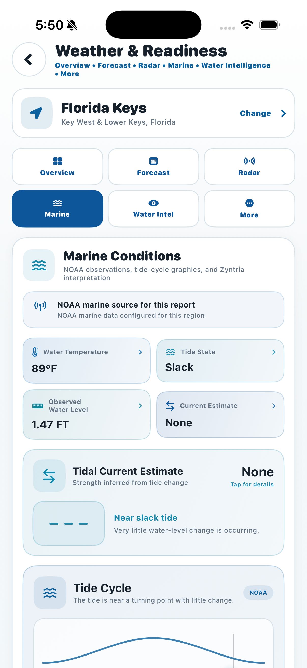
Review the marine environment that can shape boating, fishing, diving, surfing, paddling, and other water activities.
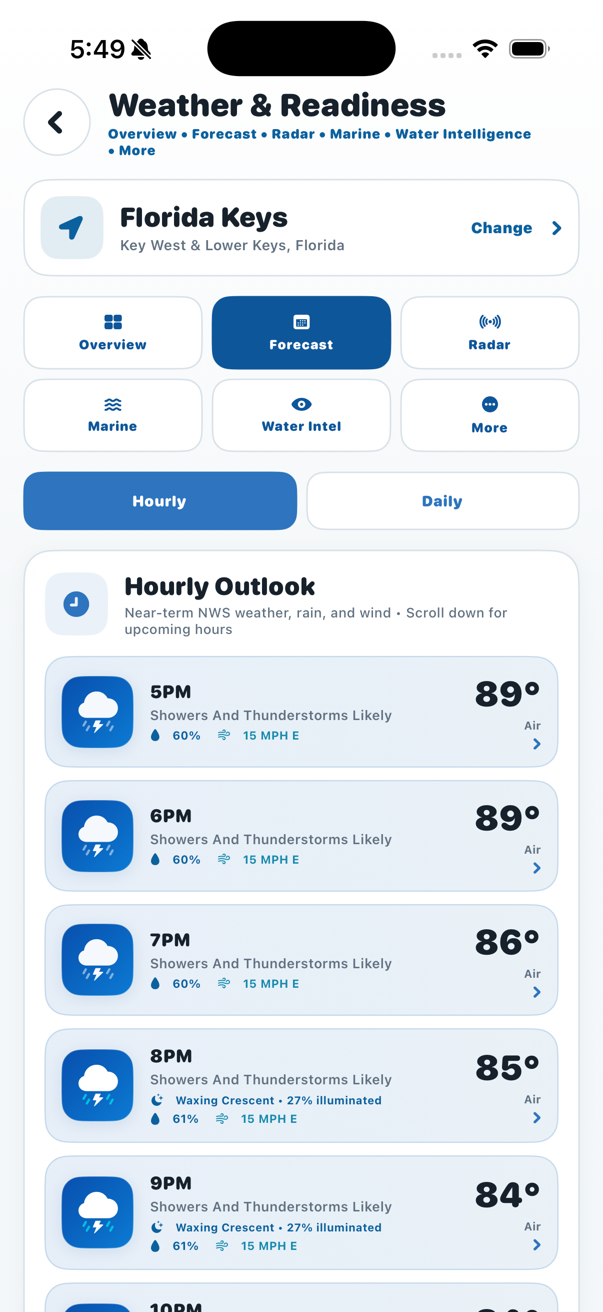
Explore future conditions to understand how weather and water factors are expected to change across the forecast horizon.
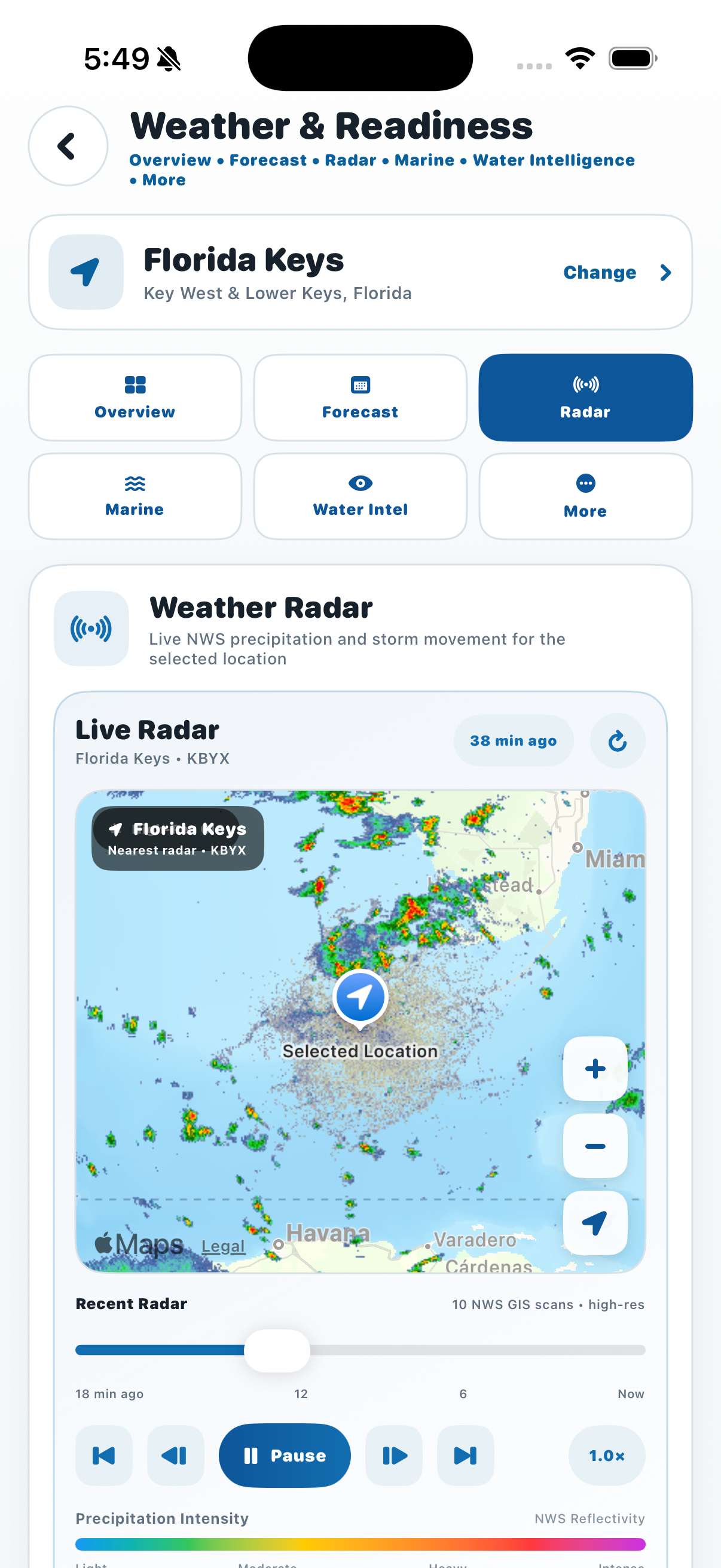
Use radar to add real-time precipitation context when planning or monitoring changing conditions on the water.
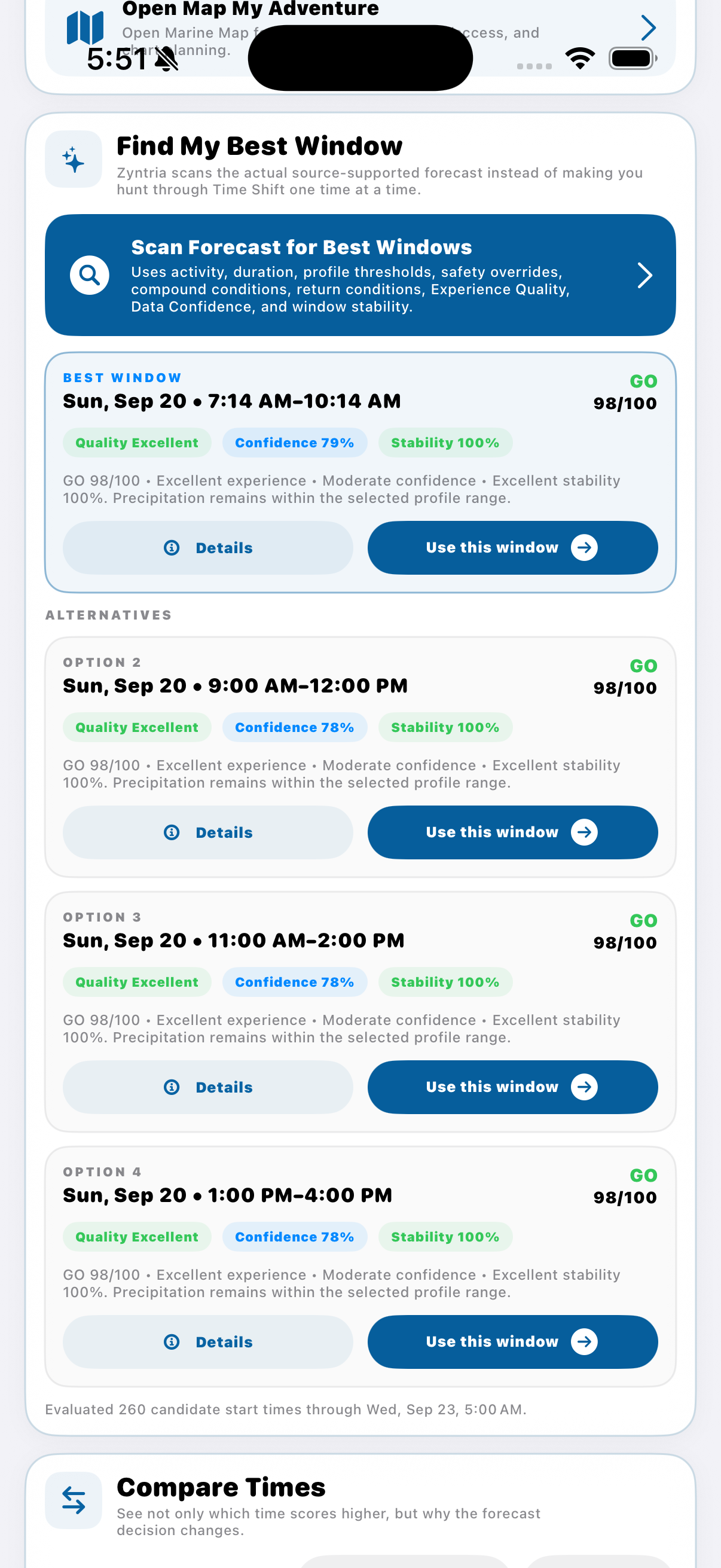
Scan ahead for stronger times to go and compare when conditions may better support your selected activity.
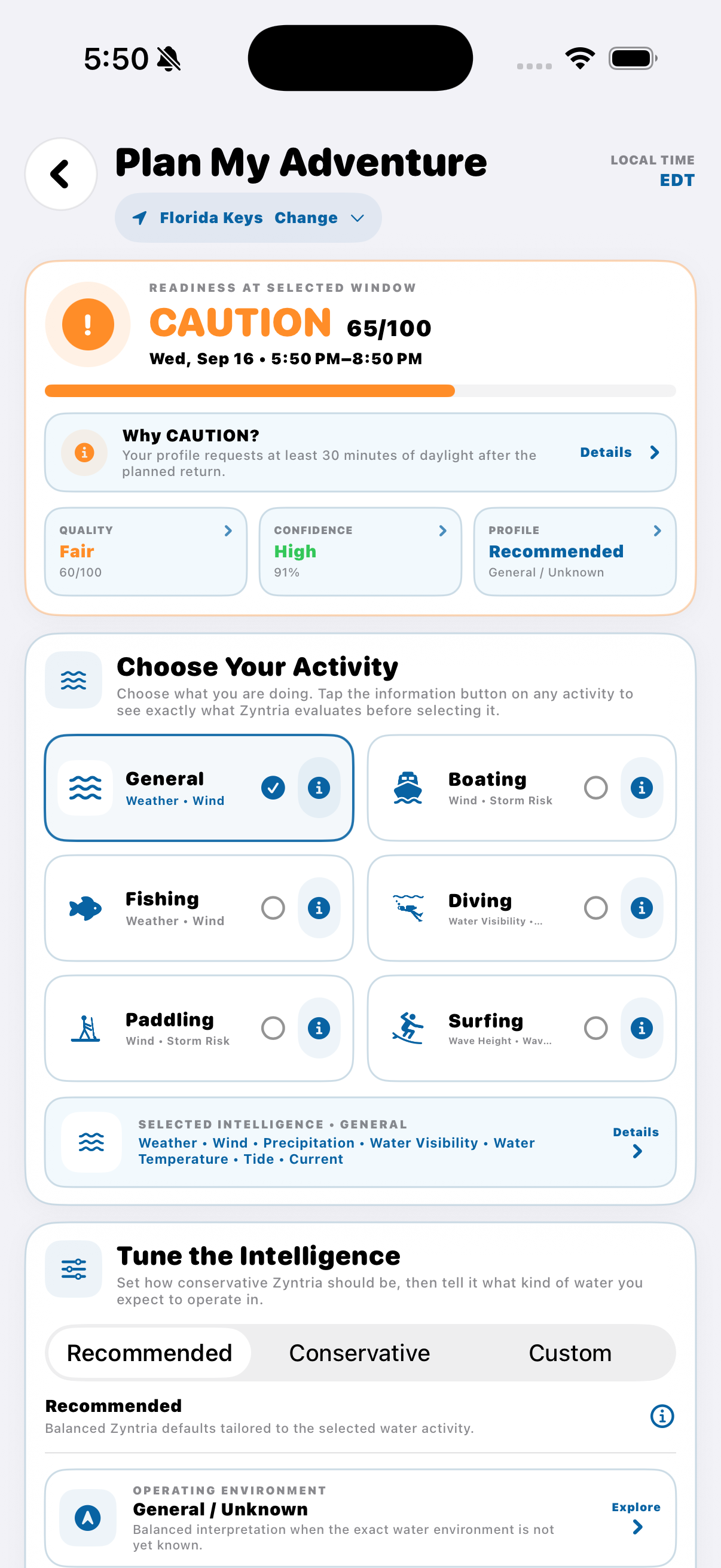
Build an activity-specific plan around your location, timing, expected duration, conditions, and planning preferences.
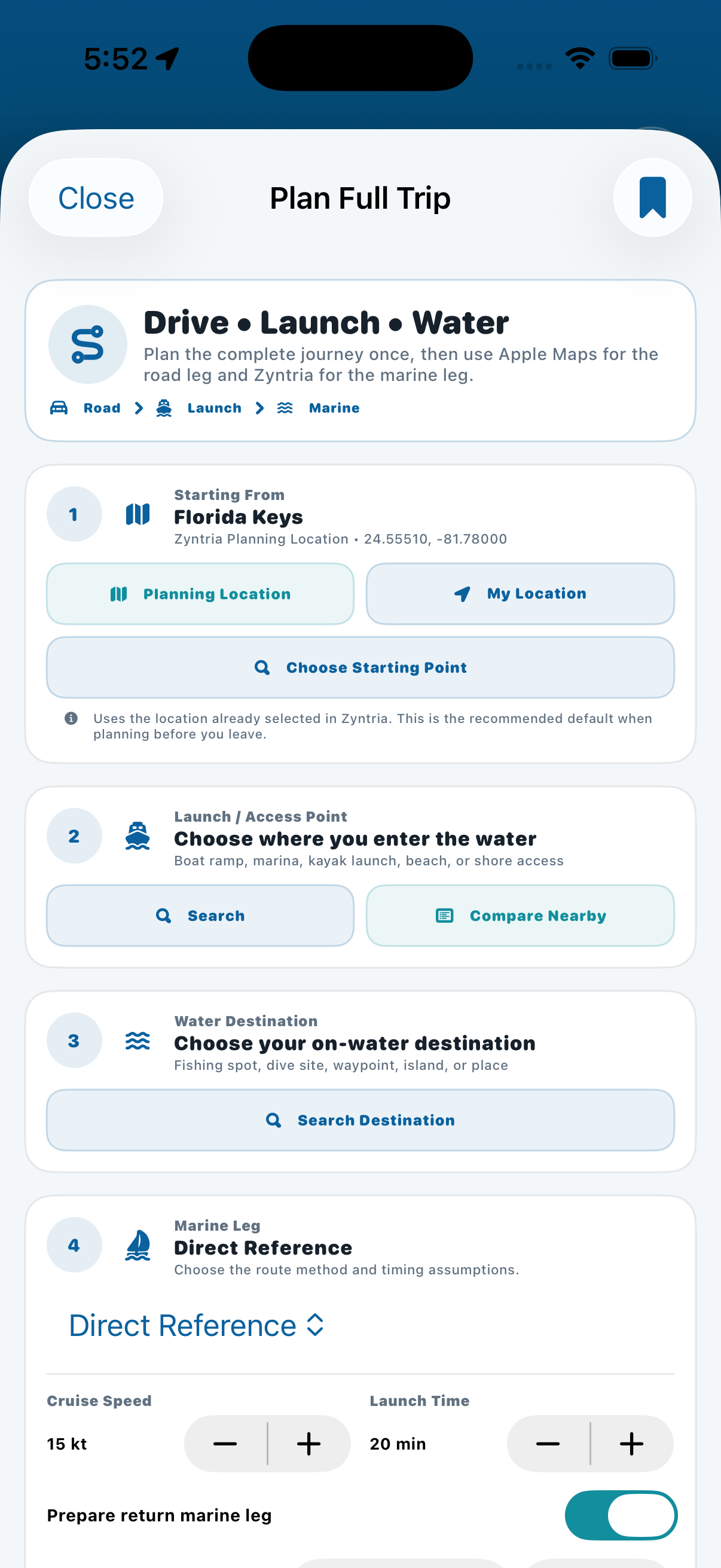
Connect the complete journey—from getting there to time on the water—with destination, route, and trip-planning context.
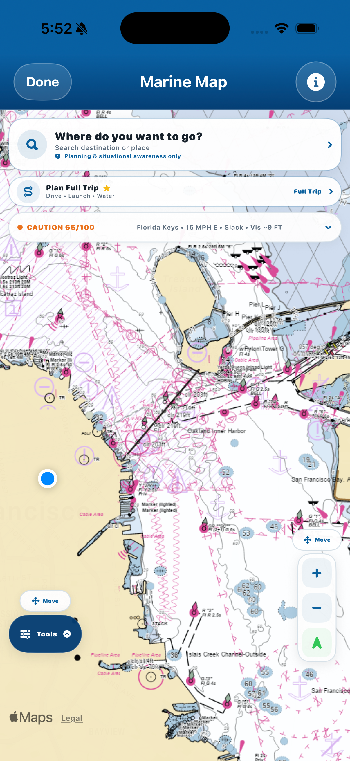
Bring marine chart context, GPS, waypoints, destination search, and route-planning tools together in one map experience.
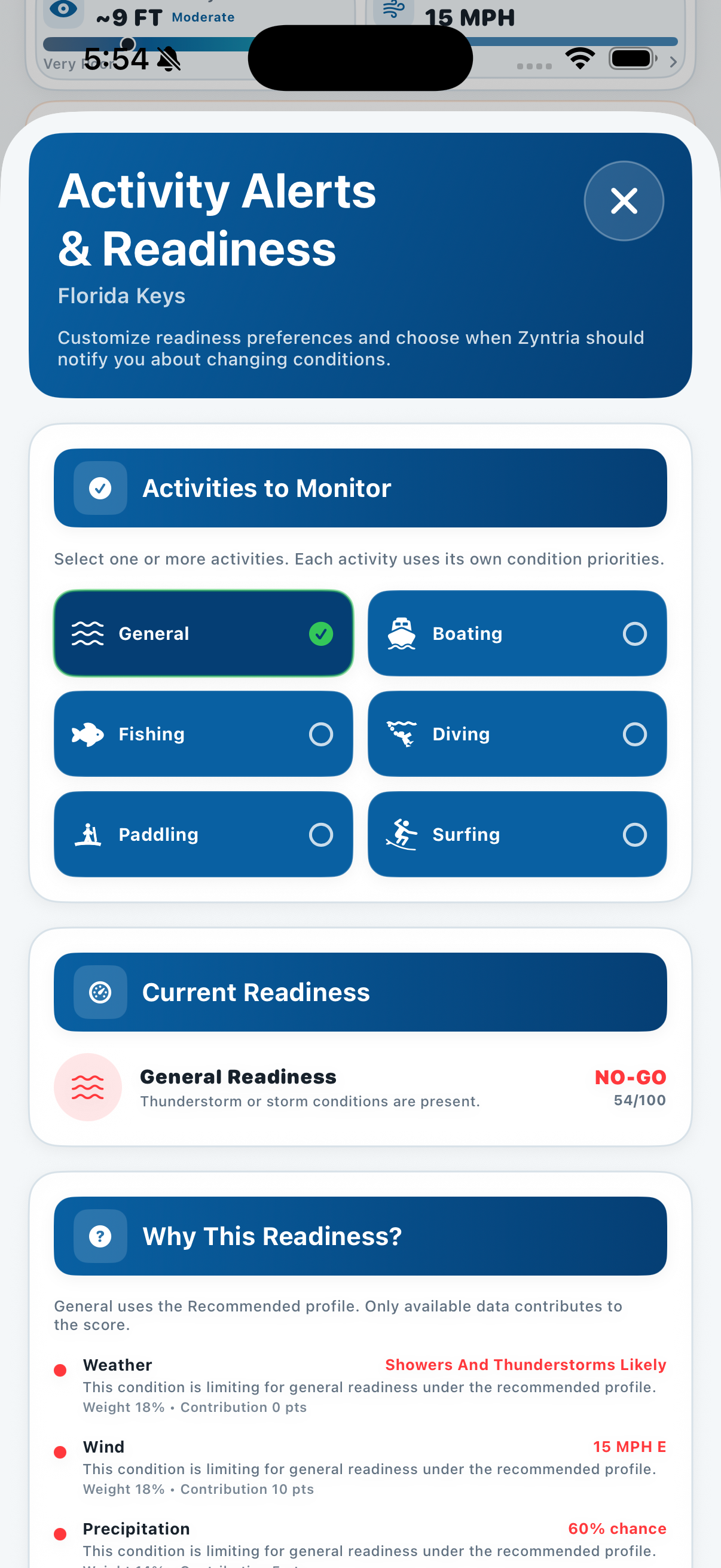
Monitor the conditions that matter to your activities and stay aware when meaningful changes occur.
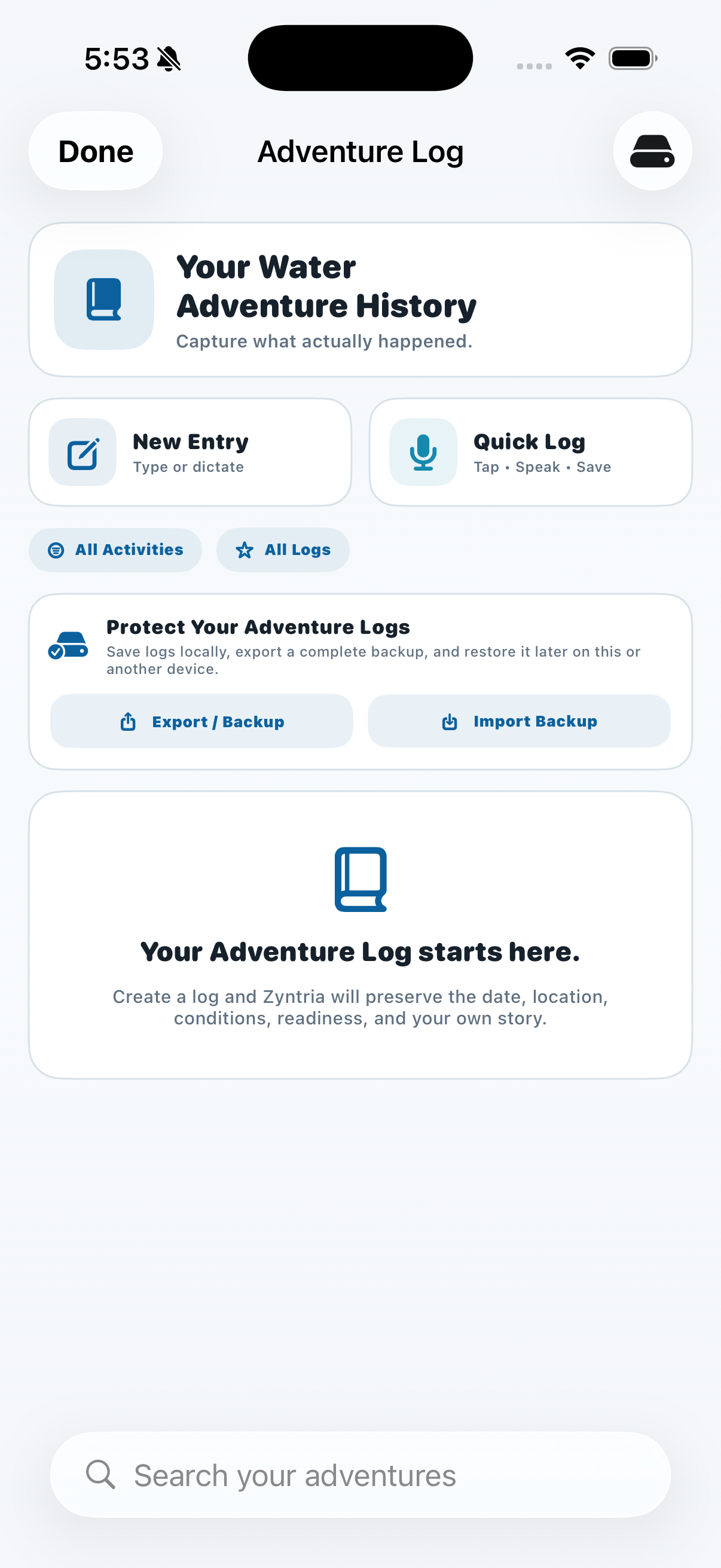
Capture what happened with an Adventure Log that can preserve useful trip, condition, and location context.
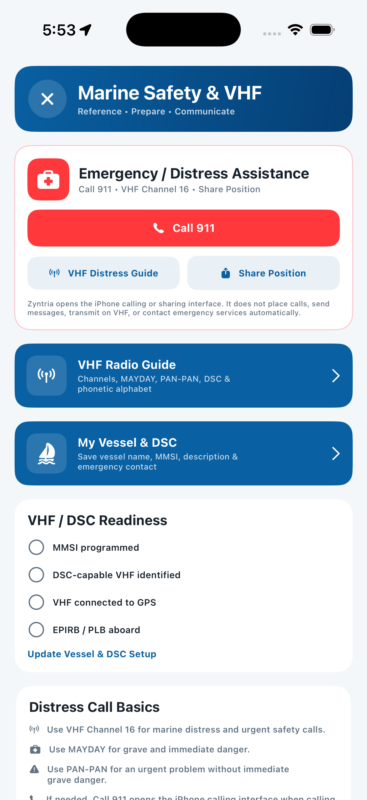
Keep practical marine safety, emergency-reference, position-sharing, and communication tools close when you need them.
Swipe left or right to explore screenshots. Tap any image for a larger view.
Zyntria organizes complex weather, water, marine, route, and safety information around the decisions you actually make before, during, and after time on the water.
Turn changing conditions into a clearer activity-specific decision.
Do more than check the forecast—identify when conditions may be better.
Bring atmospheric and marine conditions together in one decision-focused experience.
Move from destination search to chart context, route readiness, and the complete journey.
Plan the adventure, monitor changing conditions, and preserve what actually happened.
Keep practical safety and communication tools close while you are planning or on the water.
Zyntria® Water Adventure is a planning and situational-awareness aid, not a certified marine navigation or emergency-response system. Routes do not certify safe passage, chart-derived depth is not live sonar, and emergency actions such as position sharing and 911 handoff remain user initiated.
Zyntria integrates public environmental and marine information from sources including NOAA, NWS, NOAA CO-OPS, NDBC, NOAA chart services, and USACE where supported, and may add clearly identified derived interpretations. Government data use does not imply endorsement, sponsorship, or affiliation.
Turn weather and water intelligence into a clearer decision, a better plan, and greater confidence before and during your next water adventure.