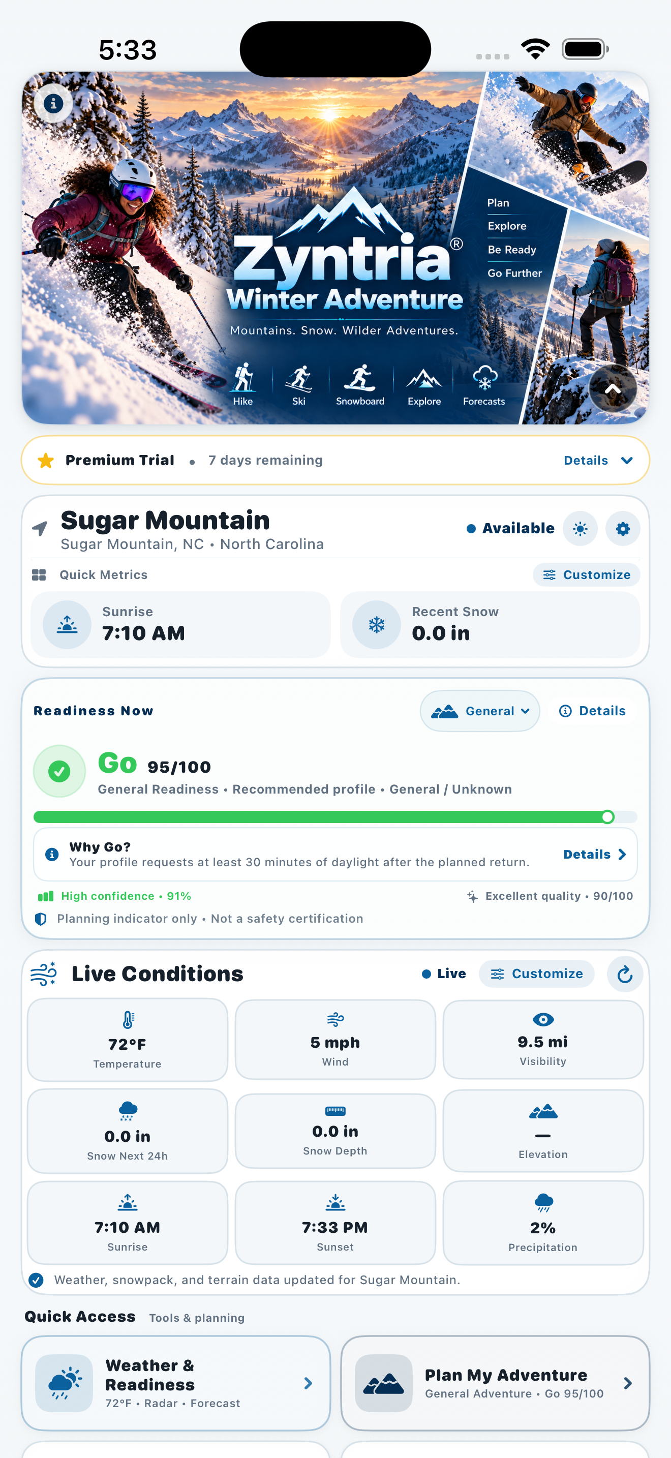
Home
Adventure at a Glance
See your selected location, current conditions, readiness, and the information that matters most before you head out.
Zyntria® Winter Adventure turns weather, snow, terrain, and hazard intelligence into a clearer decision: Is this a good time to go—and if not, when will it be?
Get activity-specific readiness, Best Window planning, detailed weather and snow intelligence, Adventure Map and route tools, Night Sky insights, alerts, official hazard context, and practical Safety & Rescue tools in one iPhone app.
Built for skiing, snowboarding, cross-country skiing, snowshoeing, winter hiking, and year-round outdoor adventure planning.
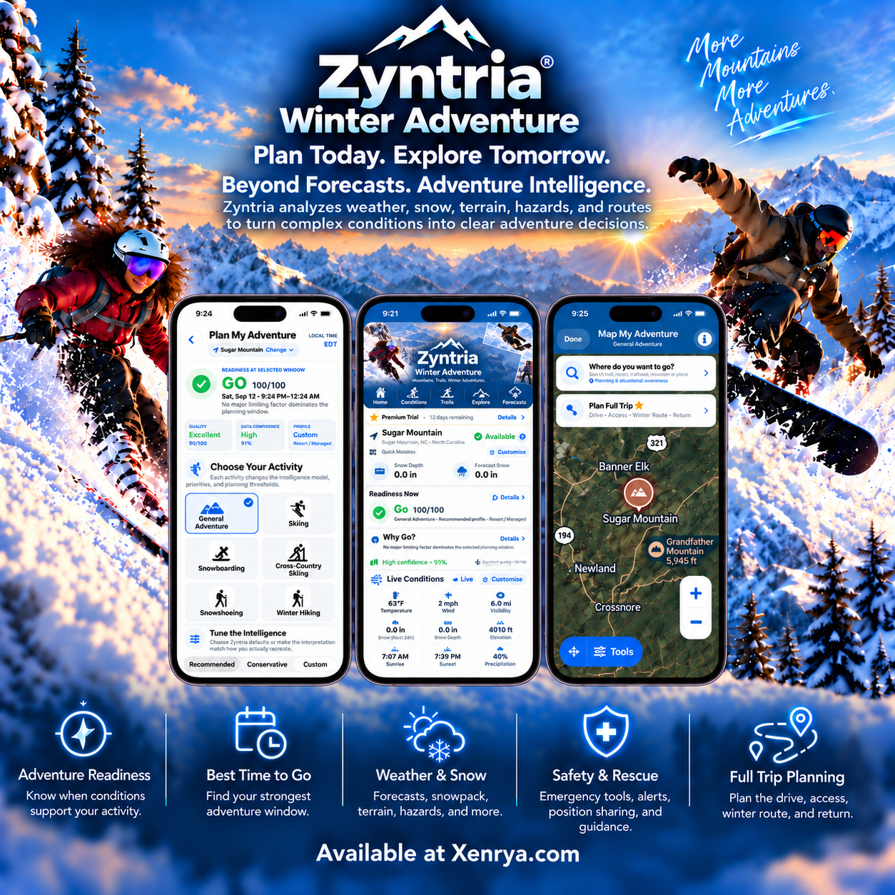
See how Zyntria brings readiness, weather and snow intelligence, future planning, radar, mapping, trip planning, Adventure Log, and Safety & Rescue together in one outdoor decision experience.
See your selected location, current conditions, readiness, and the information that matters most before you head out.
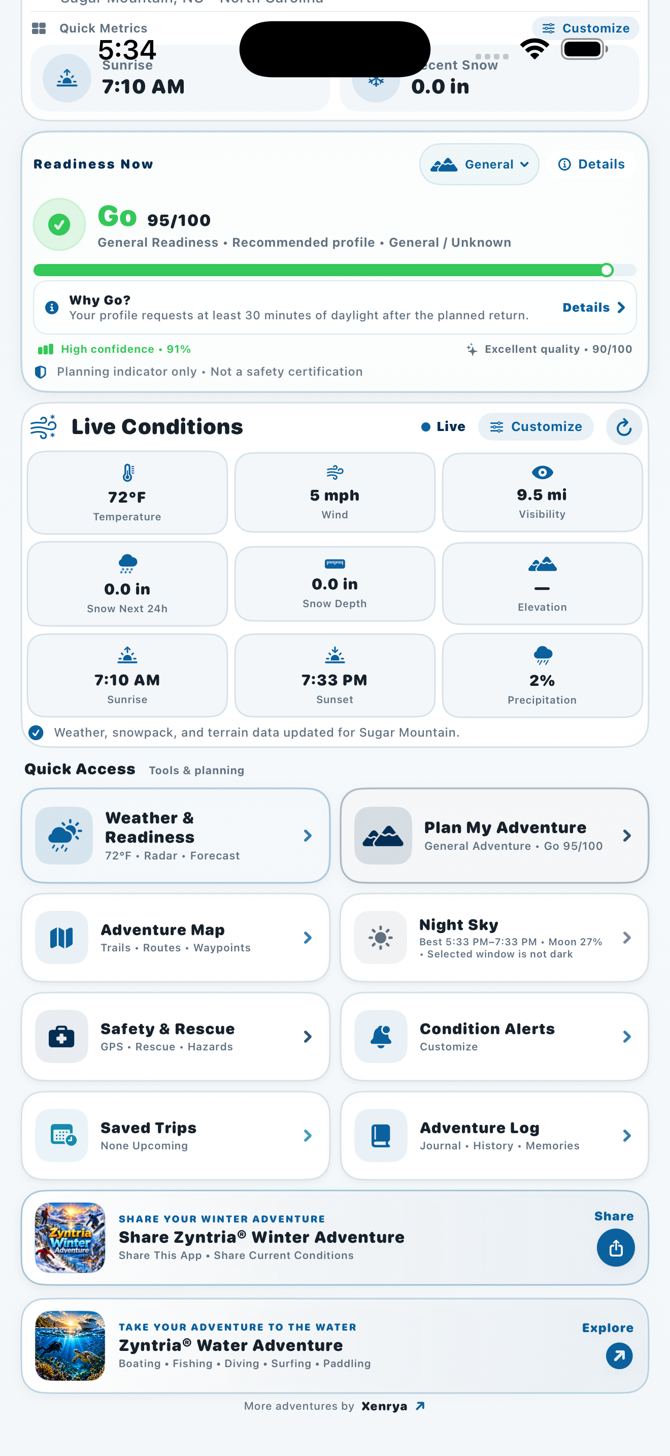
Review the current adventure picture with activity-specific readiness and key environmental conditions together.
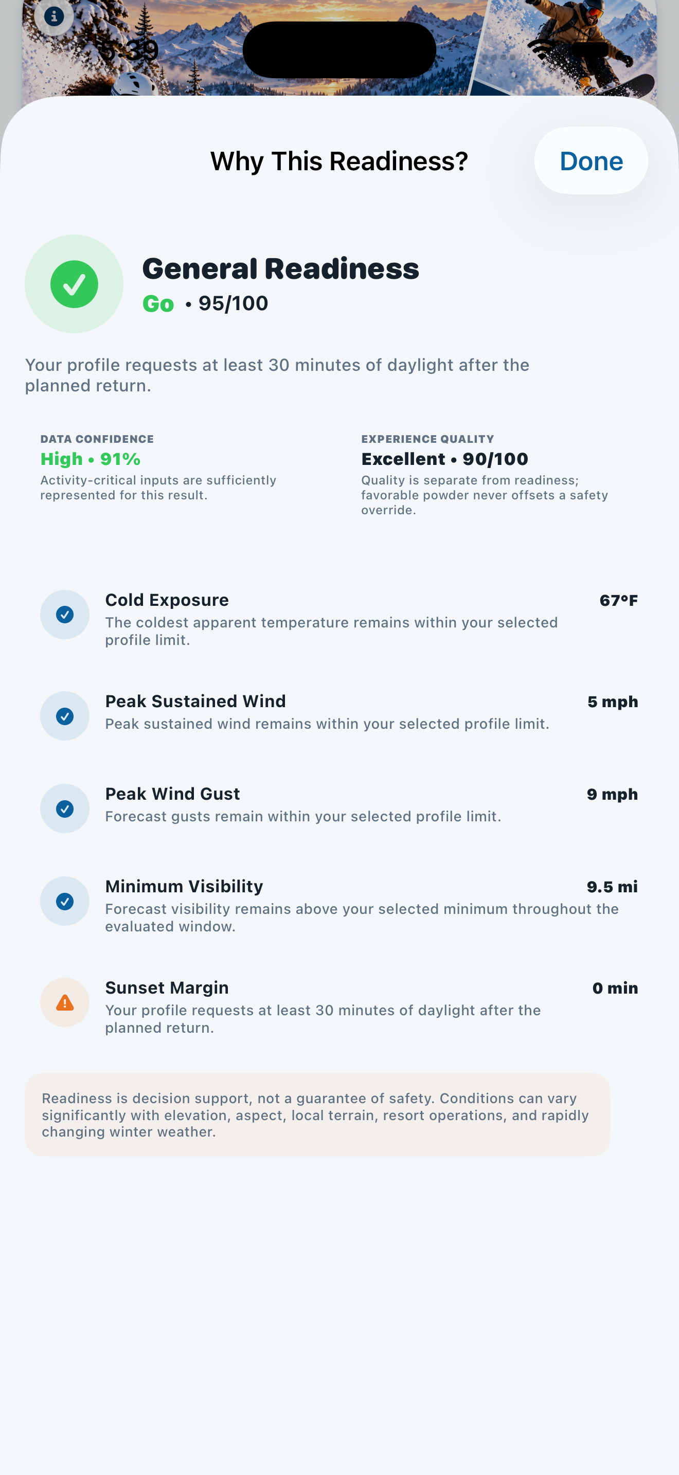
Dig into feasibility, experience quality, data confidence, and the strongest factors affecting your readiness.
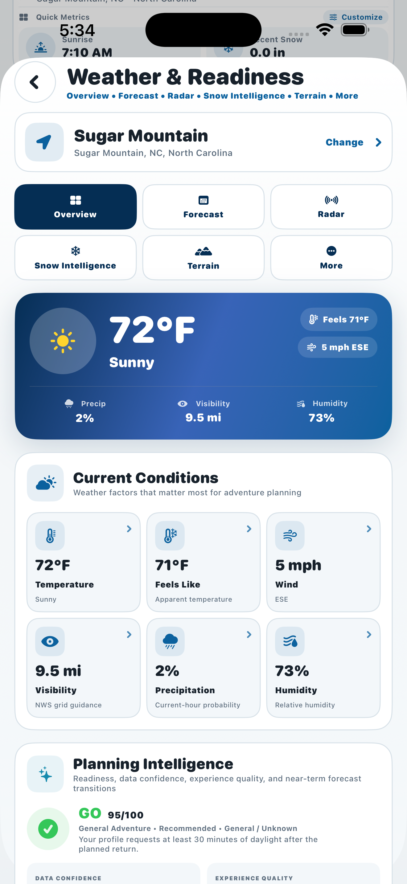
Bring current weather, winter conditions, forecasts, hazards, and snow context into one decision-focused view.
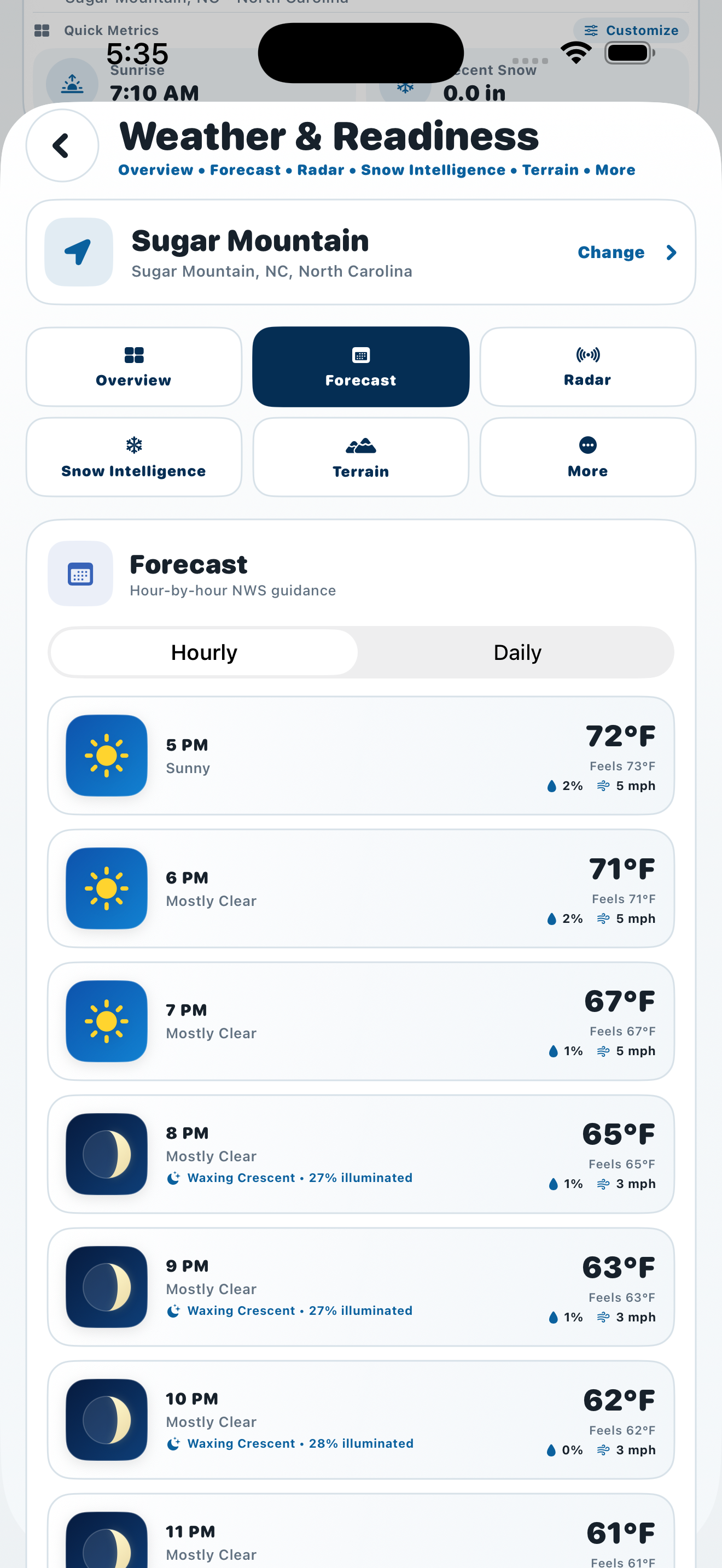
Explore the forecast horizon to understand how temperature, wind, precipitation, and other conditions are expected to change.
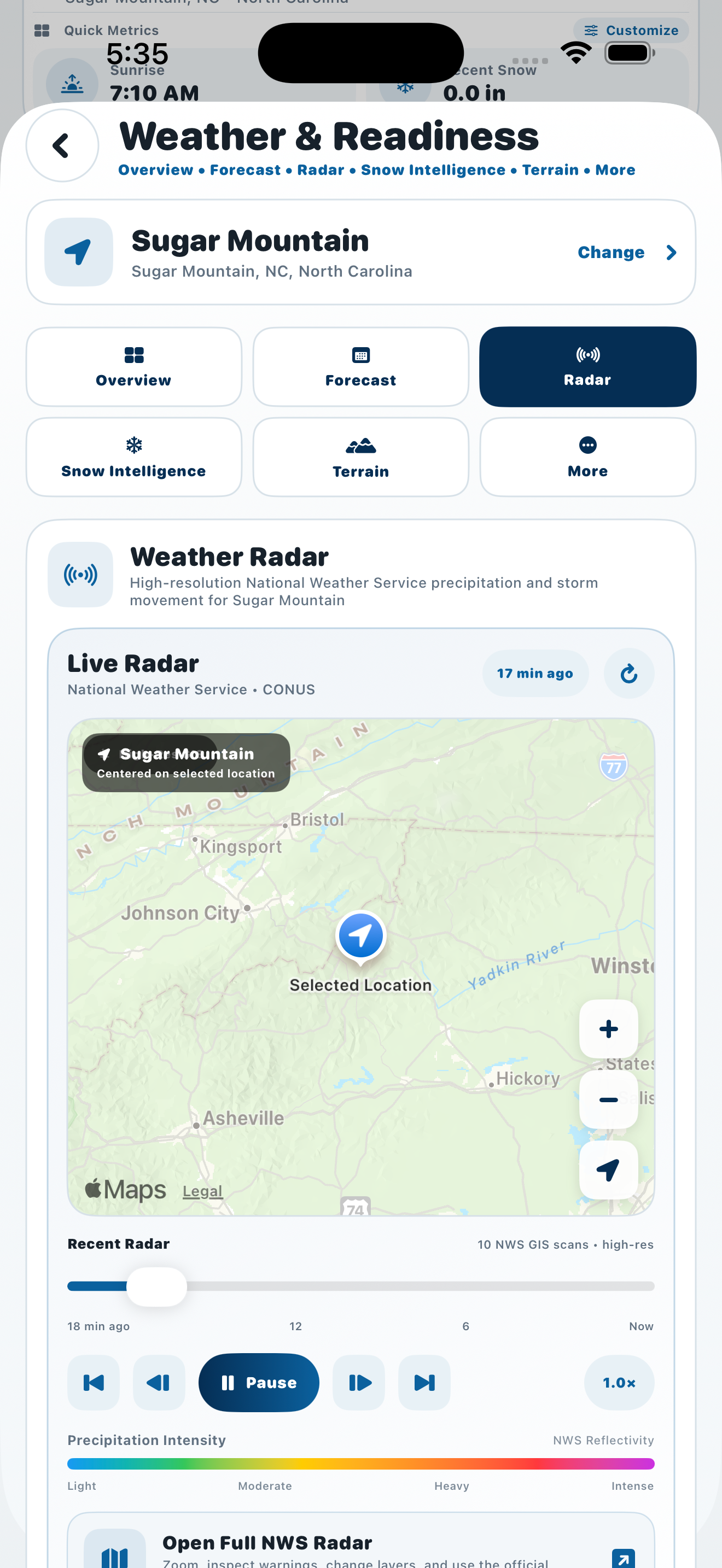
Use radar to add real-time precipitation context when planning or monitoring changing conditions.
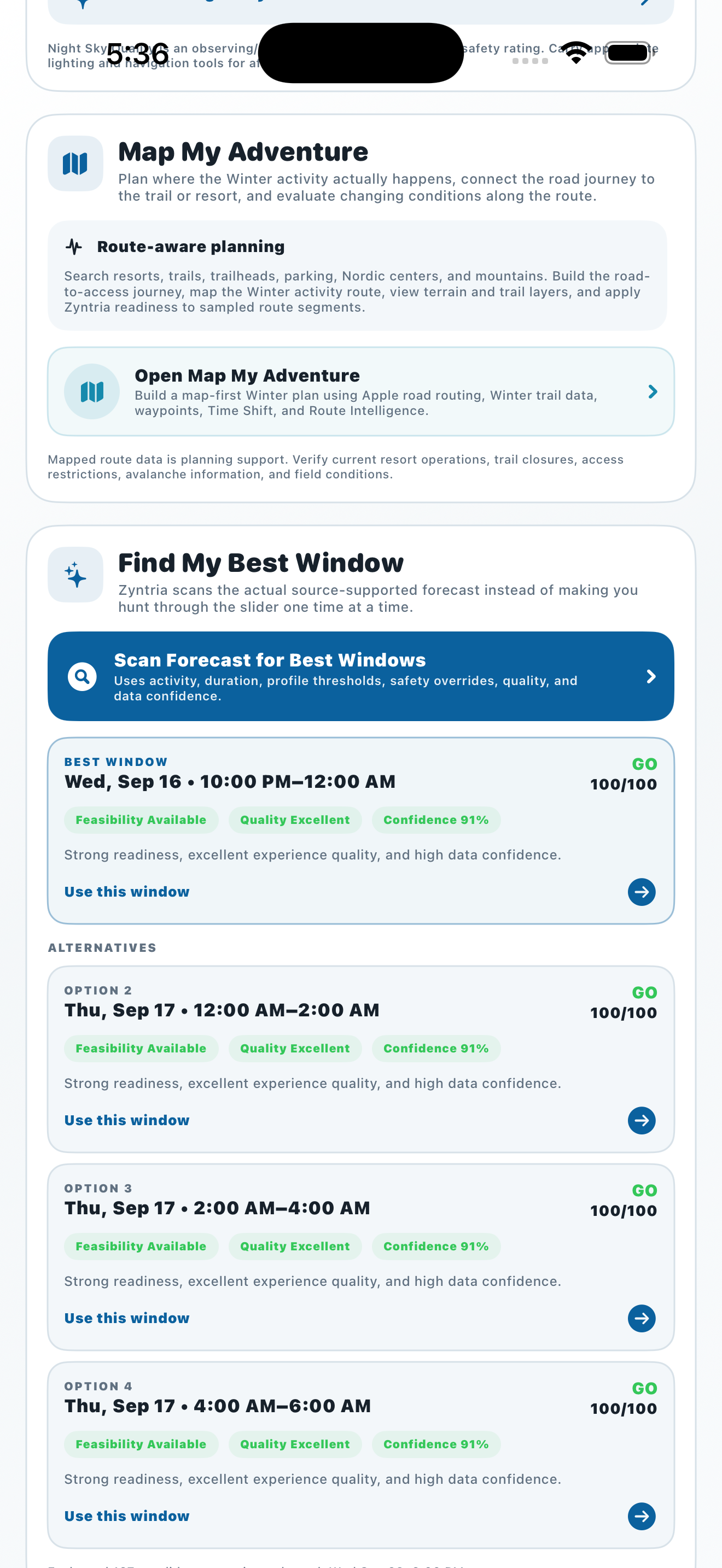
Scan ahead for stronger times to go and compare when conditions may better support your selected activity.
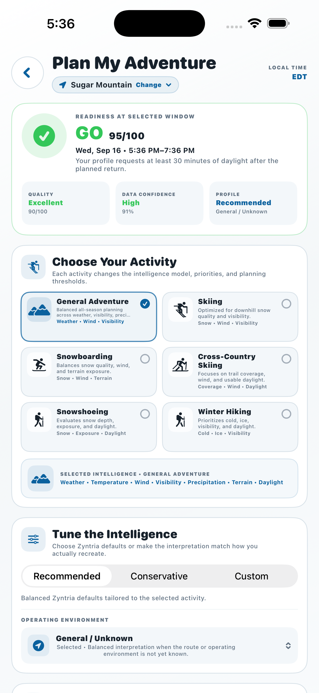
Build an adventure around your location, activity, start time, expected duration, and planning preferences.
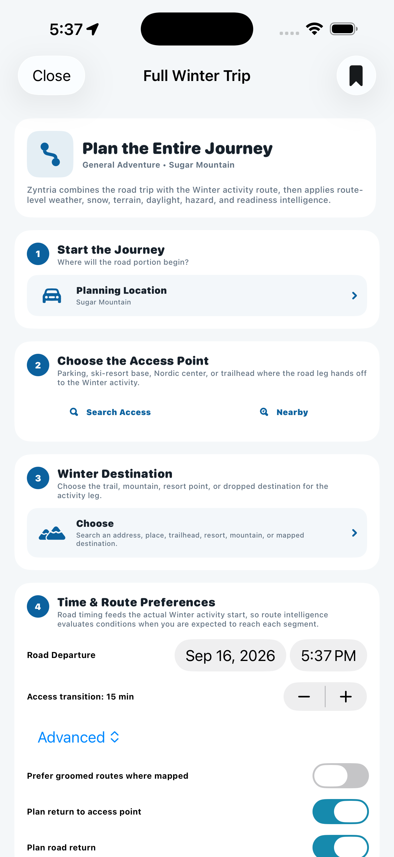
Connect the road-to-trail experience with destination planning, timing, and the rest of your adventure workflow.
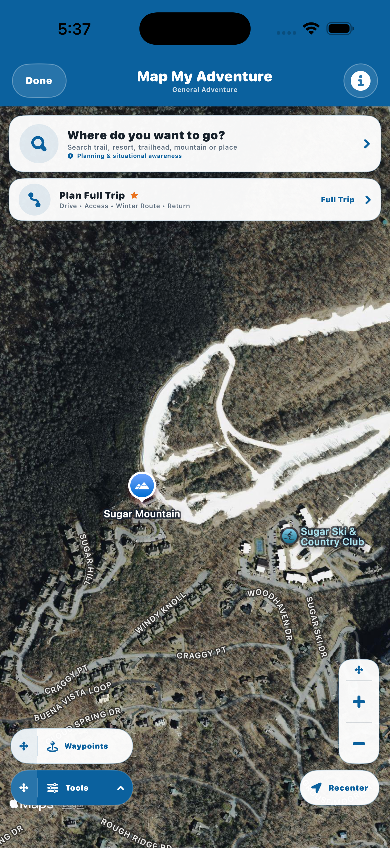
Search destinations, work with map context and waypoints, and support route planning for your outdoor adventure.
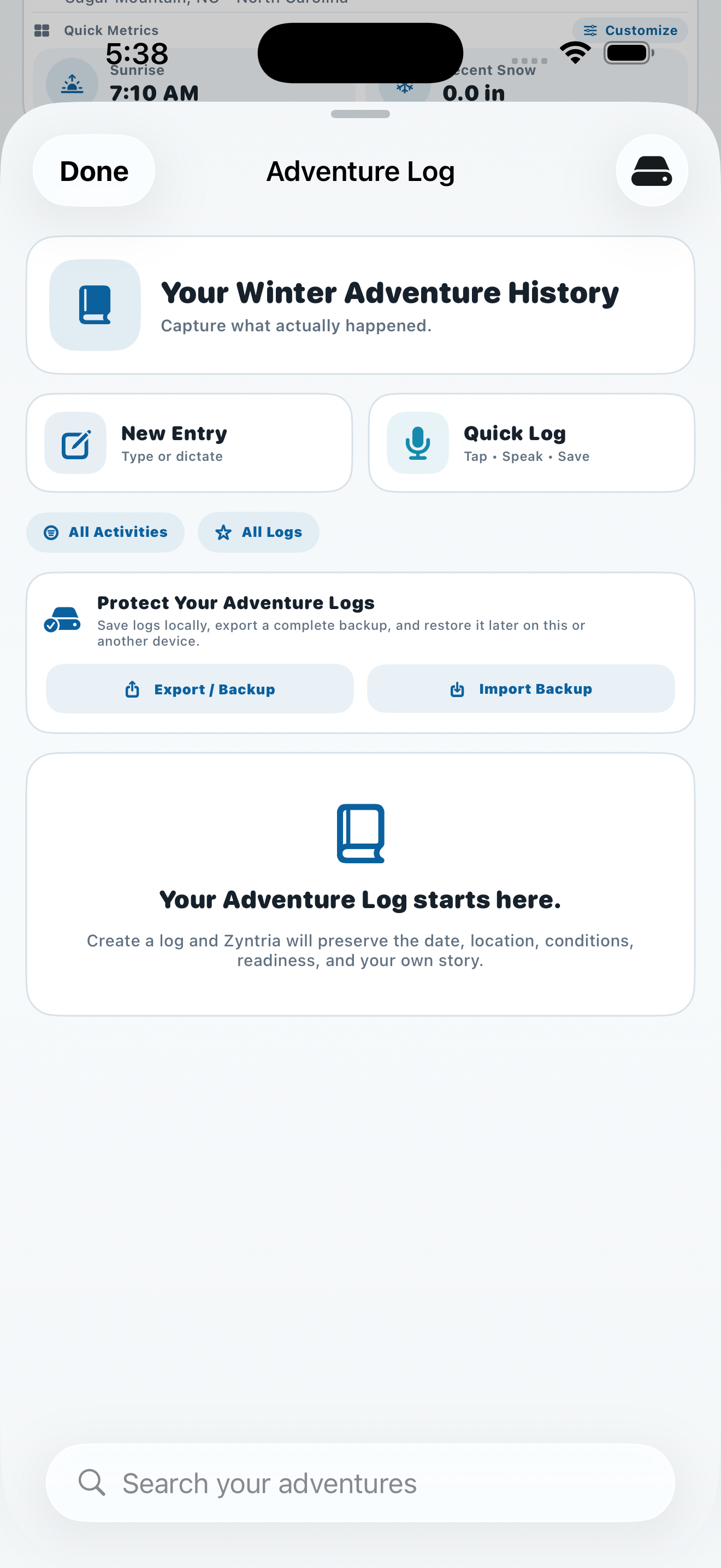
Capture what happened with a simple adventure log designed to preserve useful trip context and memories.
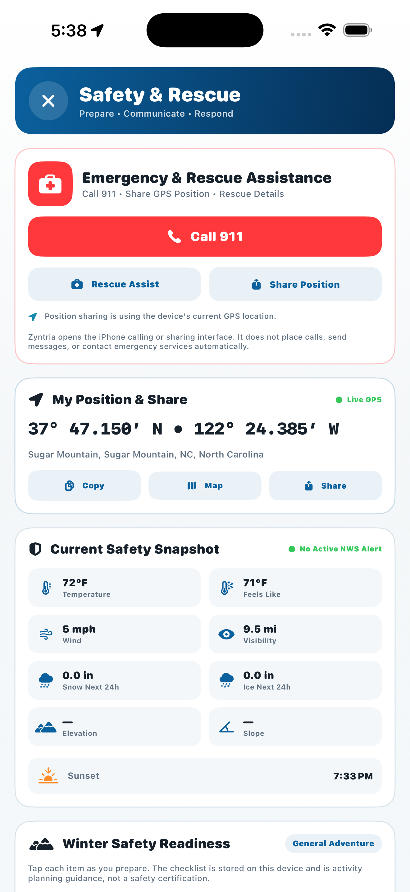
Keep emergency references, position awareness, rescue guidance, and user-directed communication tools close at hand.
Swipe left or right to explore screenshots. Tap any image for a larger view.
Zyntria organizes weather, snow, terrain, route, hazard, and safety information around the decisions you actually make before and during an outdoor adventure.
Turn changing conditions into a clearer activity-specific decision.
Do more than check the forecast—identify when conditions may be better.
Bring the conditions that shape your adventure together in one decision-focused experience.
Move from destination search to route context and the complete journey.
Plan beyond daylight, monitor changing conditions, and keep important trips organized.
Keep official hazard information and practical safety tools close without confusing them with Zyntria-generated readiness.
The free experience keeps essential current conditions, readiness, mapping, official hazard context, and safety tools accessible. Premium adds deeper prediction, optimization, routing, saving, monitoring, and offline planning.
Zyntria® Winter Adventure is a planning and situational-awareness aid. It is not an avalanche forecast center, a certified navigation system, or a substitute for official forecasts, avalanche education, rescue training, required equipment, local knowledge, closures, or professional judgment. Missing data must never be interpreted as a safe condition.
Zyntria integrates public data from sources including NWS, NOAA / NOHRSC, NRCS SNOTEL, USGS 3DEP, official NWS radar, and supported regional avalanche sources where available, and may add clearly identified derived interpretations. Use of these sources does not imply endorsement, sponsorship, or affiliation.
Turn weather, snow, terrain, and hazard intelligence into a clearer decision, a better plan, and greater confidence before your next adventure.